
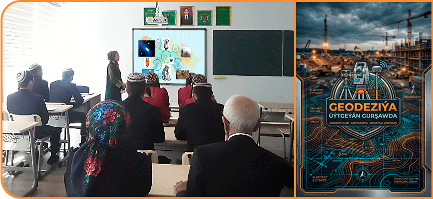
On April 17, 2026, a scientific-practical conference titled “Geodesy in a Changing Environment” was held with the participation of teachers and students from the Faculty of Road Construction at the Turkmen State Architecture and Construction Institute.
In ancient time geodesy was used for land distribution or road construction, but today it has evolved into a system for environmental monitoring. Through remote sensing and satellite technologies, specialists can now calculate changes at any point on the planet with millimeter precision.
Modern geodesy records even the smallest movements of the Earth's crust with the help of artificial satellites and high-precision laser equipment. This makes it possible to predict natural disasters, such as landslides or floods. In a changing environment, any new construction plan is based on the precise calculations of these specialists.
During the conference, the faculty's instructors and students engaged in a question-and-answer session.
