
On November 3, 2026, Narbay Uzbekov, Senior Teacher of the “Geodesy” Department at the Faculty of Road Construction at the Turkmen State Architecture and Construction Institute, conducted an online scientific-educational seminar titled “GPS and GLONASS Technologies in Geodesy”.
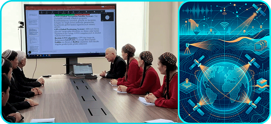
The seminar was attended by faculty members and students from leading higher and secondary vocational educational institutions across the country. During the online session, representatives from Magtymguly Turkmen State University and the Institute of Engineering, Technical and Transport Communications of Turkmenistan exchanged experiences with each other.
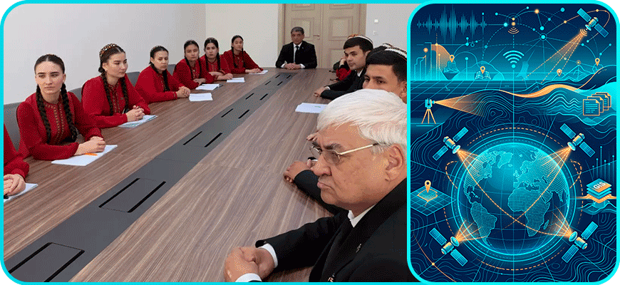
The presentation highlighted the use of GPS tools in creating geodetic networks of varying precision levels, carrying out geophysical and hydrographic surveys, as well as conducting geological exploration. It also covered the application of cartographic, statistical, and satellite data to build geographic information systems (GIS), along with the study of tools designed for collecting, storing, searching, and processing spatial data.
